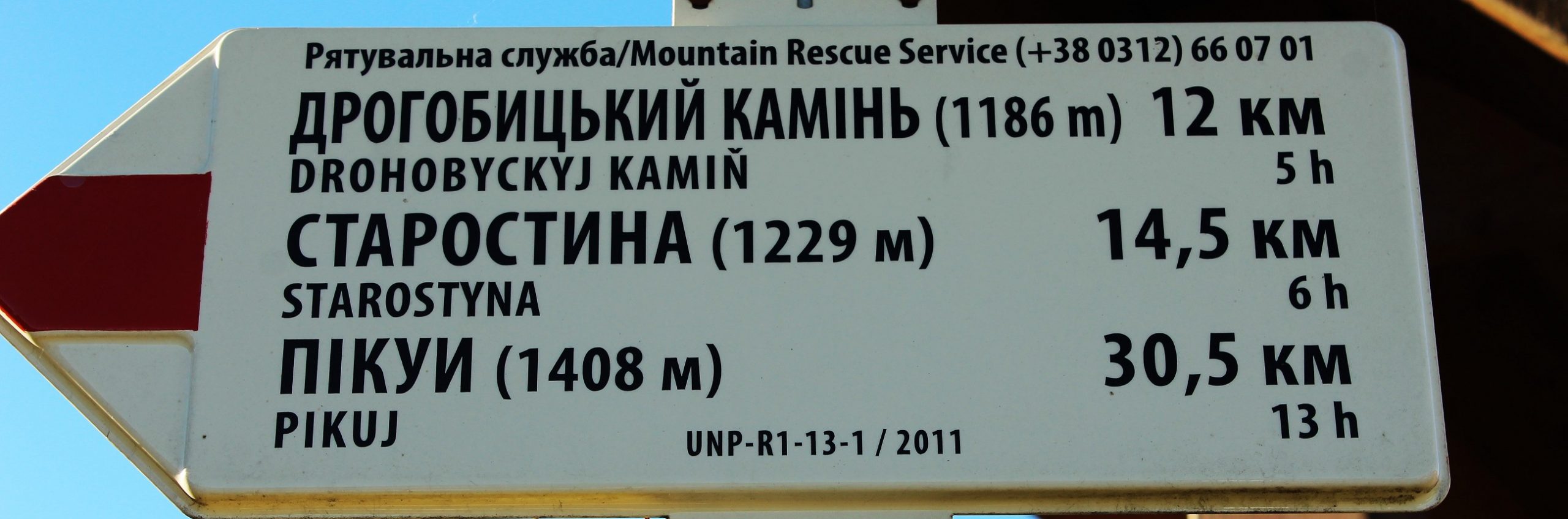
Drogobych stont
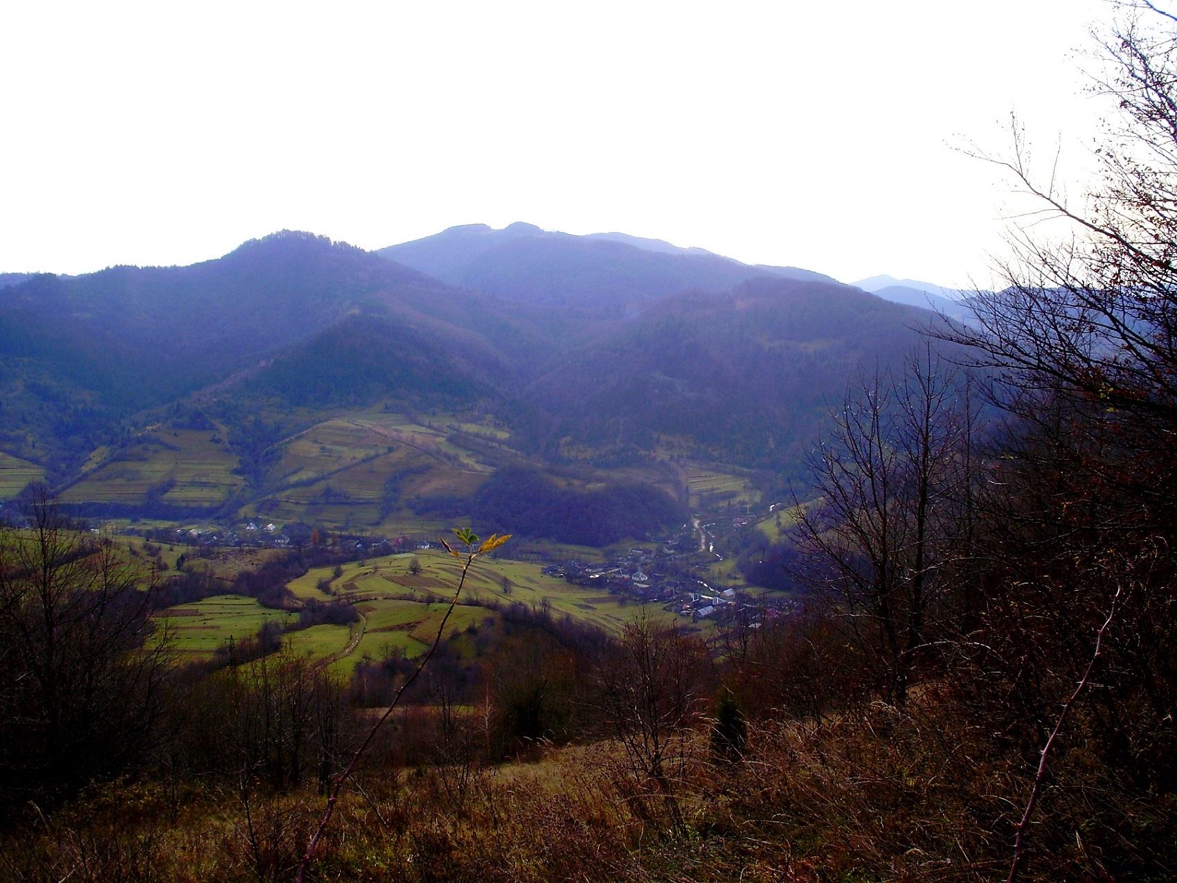
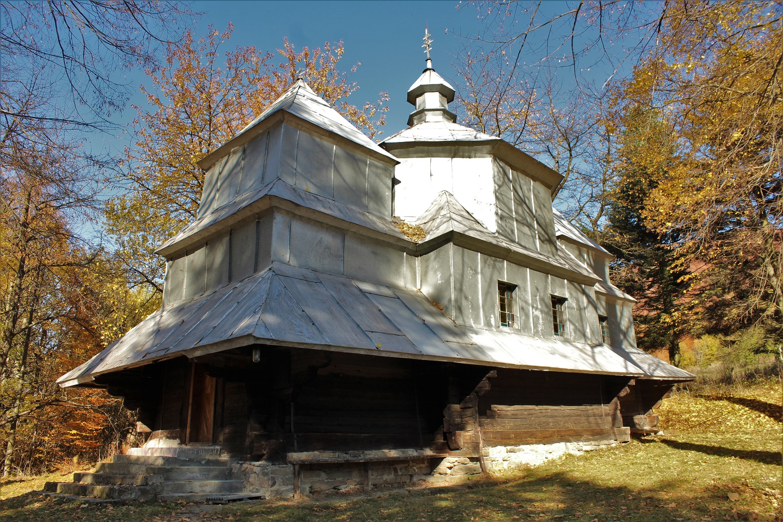
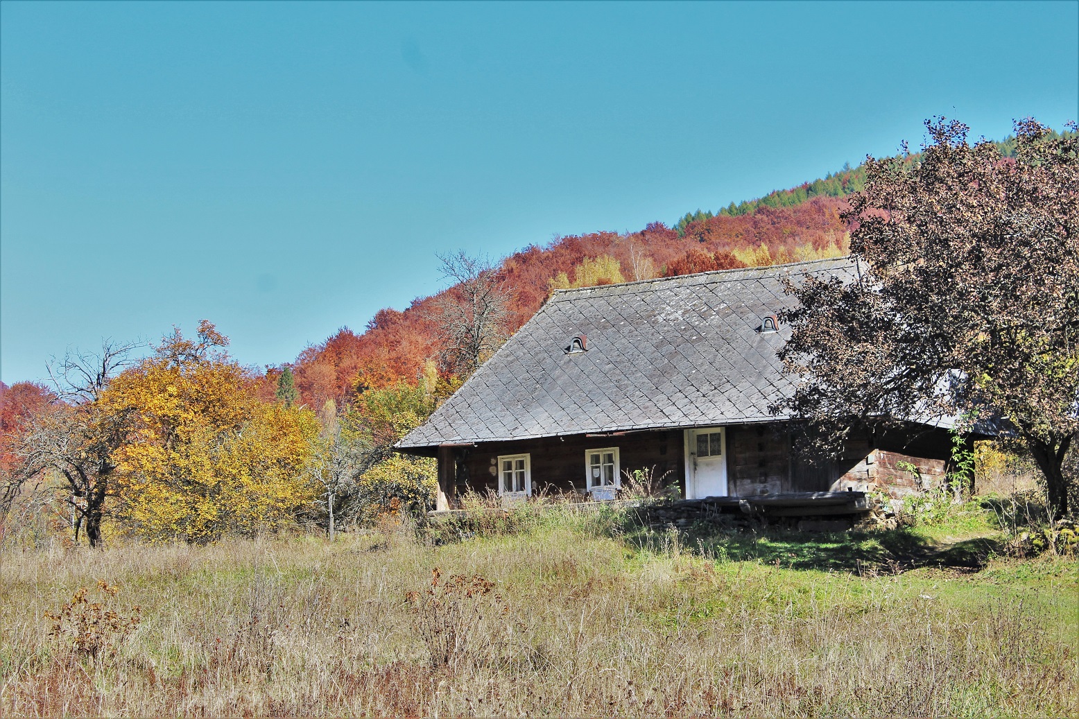
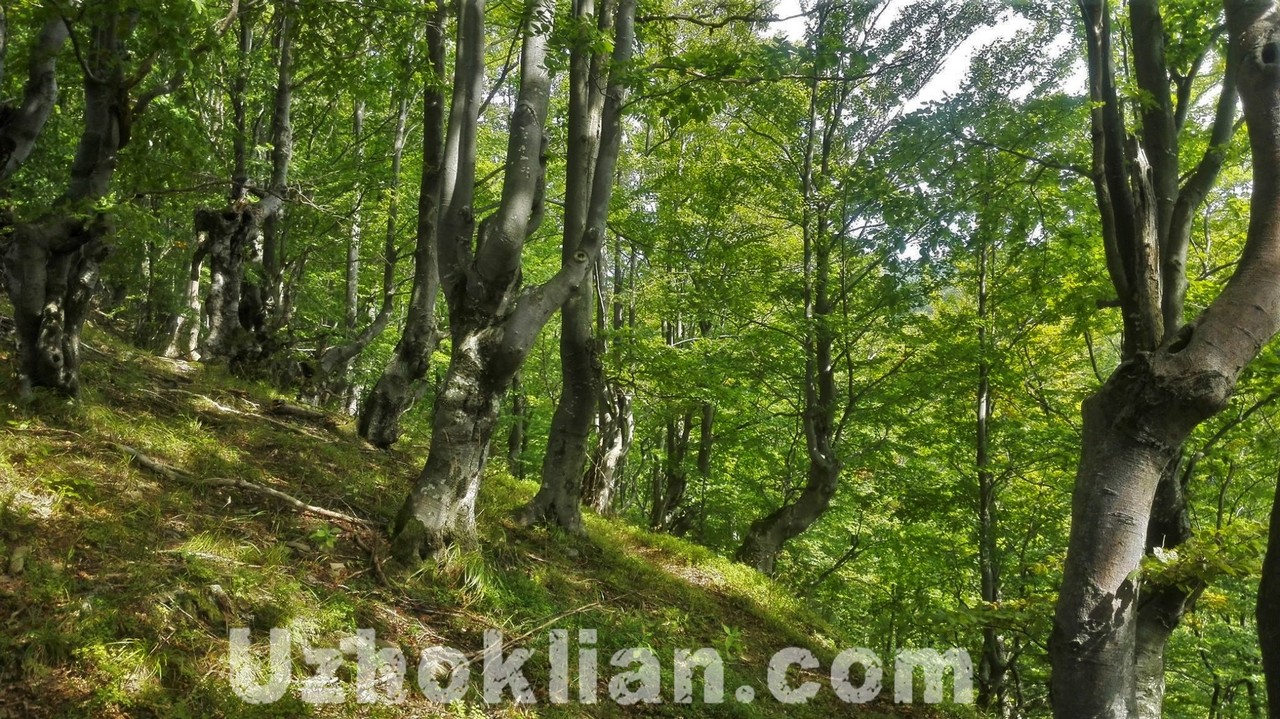
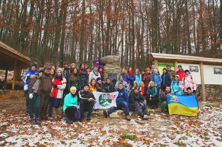
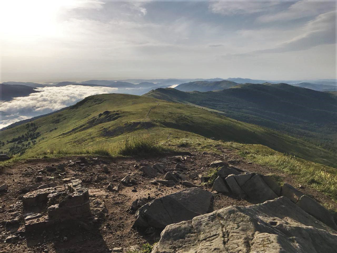
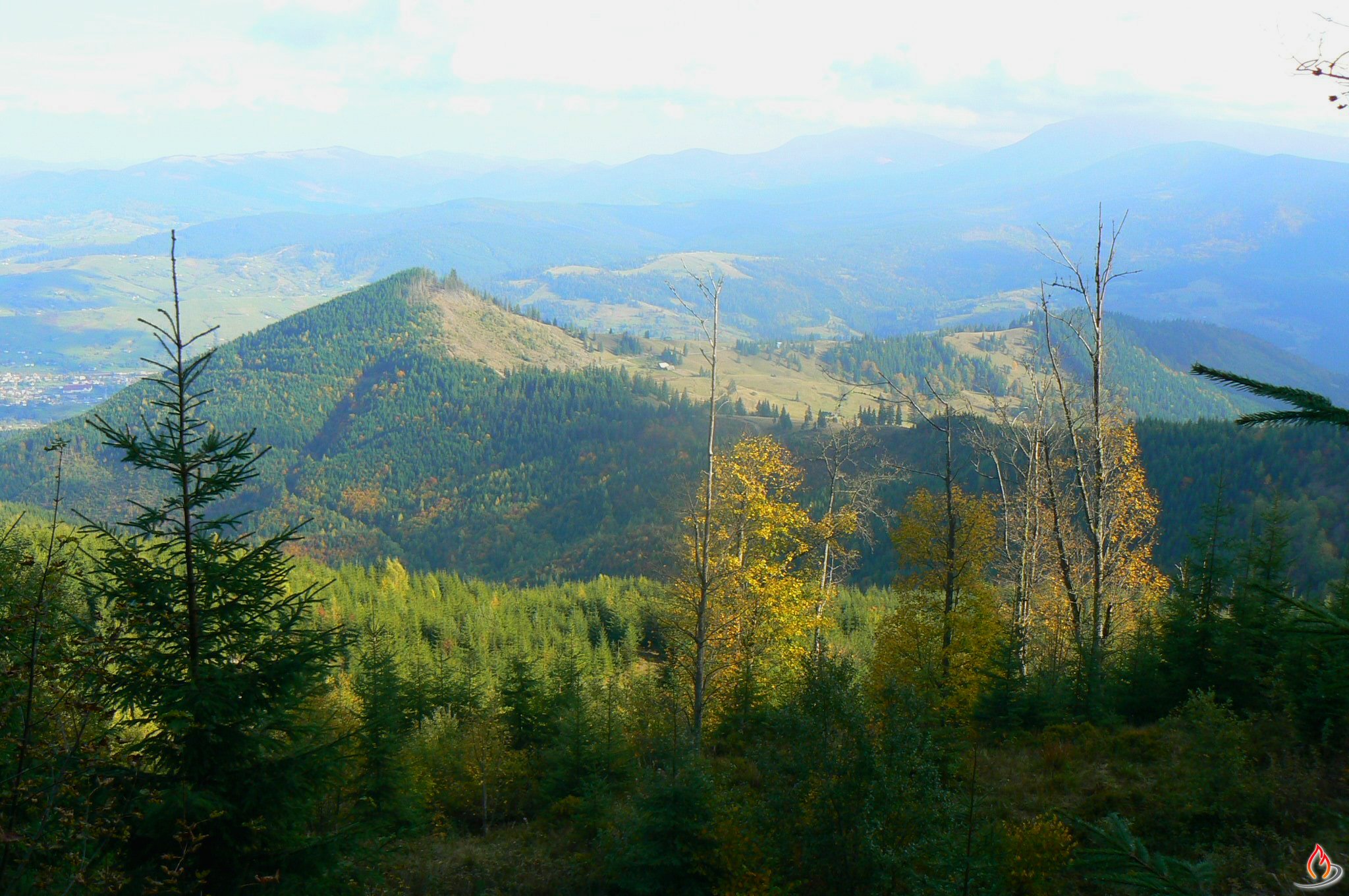
The length is 19 kilometers (8 hours, depending on your training). The route begins from the hotel “LiAn”. Then the road goes to a little mountain river Gusnyj and runs parallel to the river between the mountains covered with dense forests. Three kilometers away, village Gusnyj begins together with picturesque houses. The population of Gusnyj does not exceed 60 people at this time. In the village center stands a church of St. Nikolai the Wonderworker that is also known as Mykolaiv Church. This architectural monument has a national meaning. The date of the church foundation is 1655 year. From this place begins the ascent to Drohobych stone. You can find the mushrooms and taste the forest berries on this road. Dense shrubs of bilberry and cranberries can be found at an altitude of about 700-800 meters. So during the season, you have a great opportunity to get fortified! Climbing to Drogobych stone (1186 meters) you can see an amazing panorama of Transcarpathian and Lviv regions opens: with the mountains and valley all over the landscape where the village is set right in between. Then the road goes through Verkhovynsky dividing range to the summit Krugla (981 meters) and goes down to the village Uzhok.


Eco-route “Kremenets”. The length is 20 kilometers (9-10 hours depending on your physical preparation).
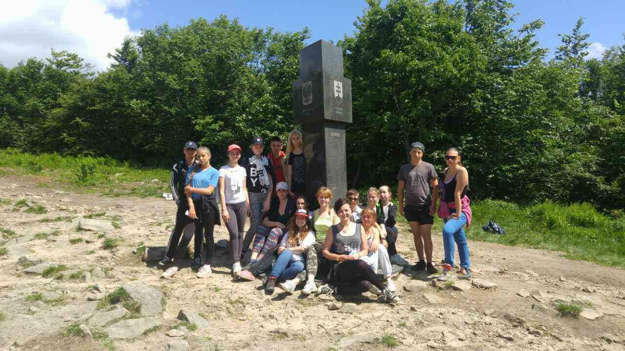
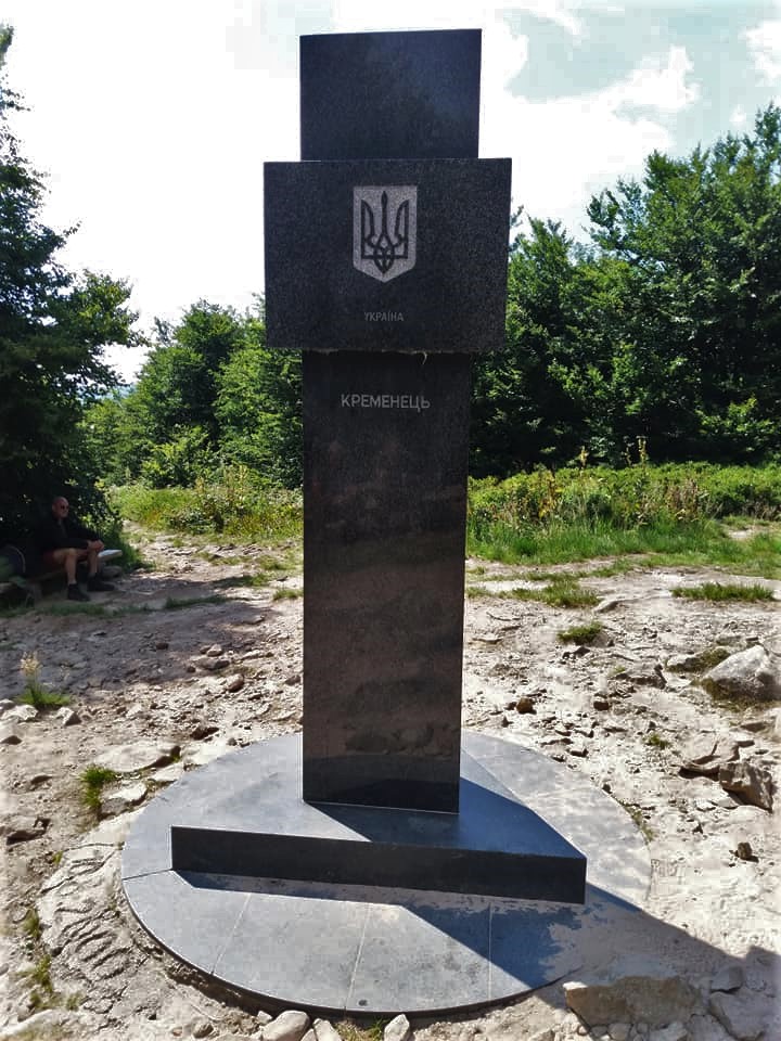
The route goes through the beech wildwoods, which have not undergone any changes under the influence of man over the past 120 years. They occupy the biggest area in Uzhanskyi National Natural Park. You can meet fantastic landscapes along the way – beeches with branches lowered almost to the ground. Just like in fairy tale movies! The unique water source is located under the mountain top. Its name, Saint Studnyk, it’s got because of crystal clear water. Several centuries this water source is sanctified by the clergy representatives of Ukraine and Poland. Following this route, the wanderer comes to the summit where you can see a monument which notifies the joint of three borders – Ukraine, Poland, and Slovakia.
It starts in 26 kilometers away from the hotel-restaurant complex “LiAn” (we will organize shuttle service).
*Attention! You must take care of the permission for this route in advance because this route is located near the border lane. We will tell how and where you can get the permission!

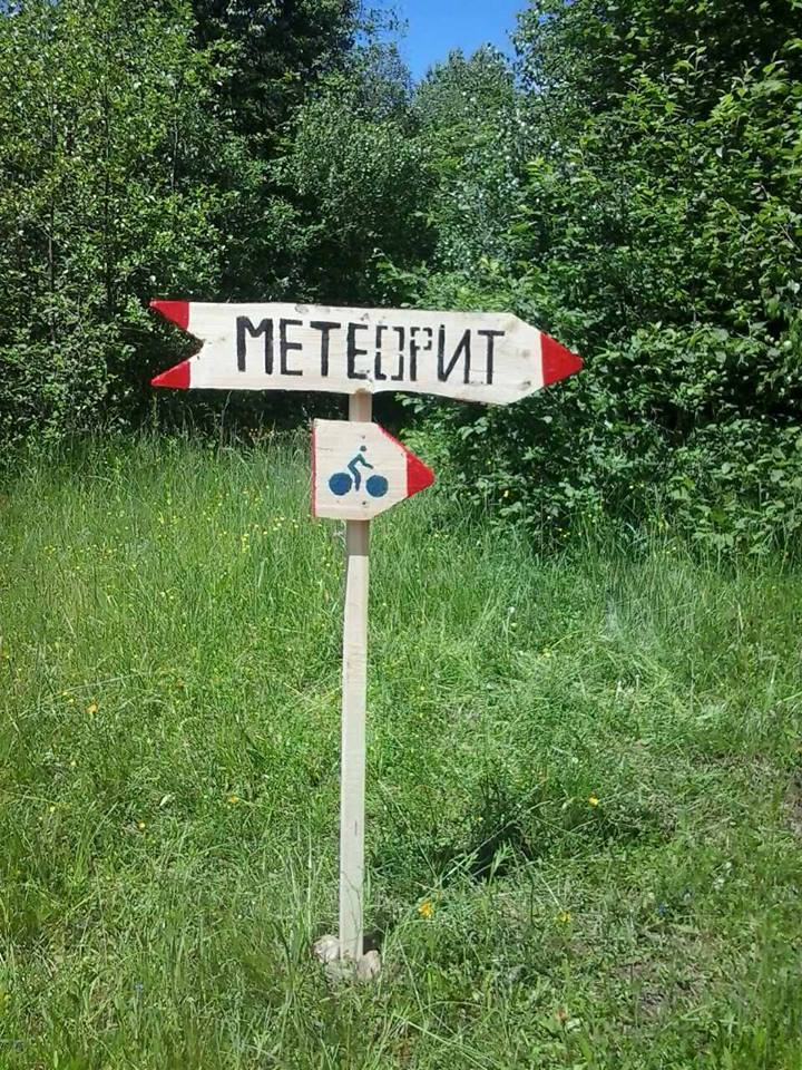
Eco-route “Meteorite Knjahynja”. The length: 5 kilometers from Stuzhytsja village, 8 kilometers from Knjahynja village (6-10 kilometers depending on your physical preparation).
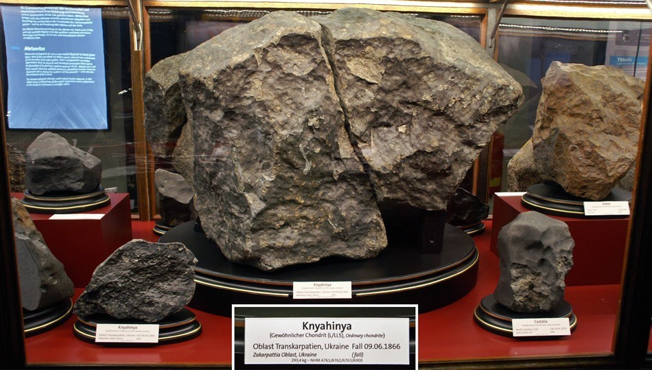
The route begins in Knyahynya village and goes through the mysterious beech wood of Uzhankyi National Natural Park. The road goes by the slopes of the mountain Stinka, where you can see karst caves, which were formed by erosion of rocks with underground waters. Then the lift goes to the “Black Mlaky” tract. This is the place of the fall of the largest meteorite – Knjahynja Meteorite. Meteorite fell down as a fiery arrow across the sky and exploded near Knyhynja village at a height about 40 kilometers. This unusual situation took place in the summer of 1866 year. People found the fragments of meteorite across the entire outskirts of Knyahynya. The largest was found in “Black Mlaky” track. But the largest fragments of this meteorite fell in the wood, so if you are lucky enough, you can find them as well! 🙂
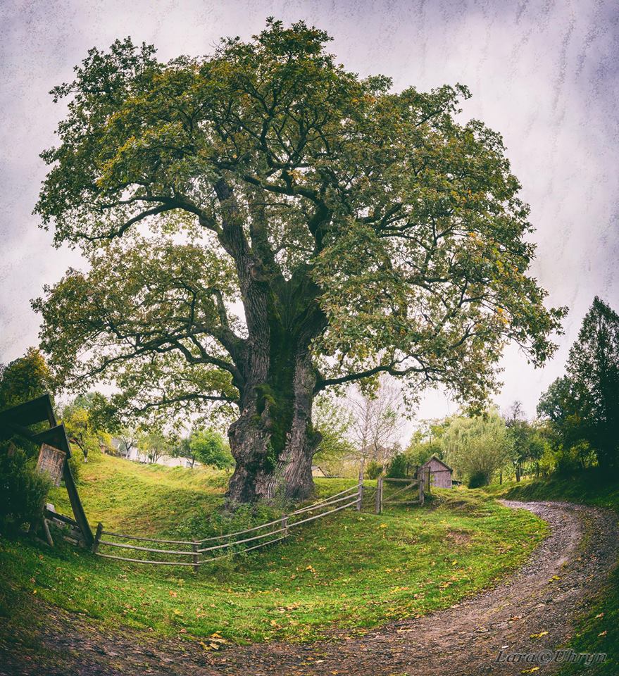
After visiting the meteorite fall, the path turns to the other side to Stuzhytsja village, to the oldest oaks in Ukraine. The oak “Champion” is 1300 years old, and “Grandfather” oak is 1100-1200. It is considered that the oak “Champion” is a father of “Grandfather” oak. Both oaks have the stem circumference more than 9 meters, and their height is 30 meters! They will fascinate you with their majesty. It starts in 24 kilometers away from the hotel-restaurant complex “LiAn”, or 34 kilometers (we will organize shuttle service).
*Attention! You must take care of the permission for this route in advance because this route is located near the border lane. We will tell how and where you can get the permission!
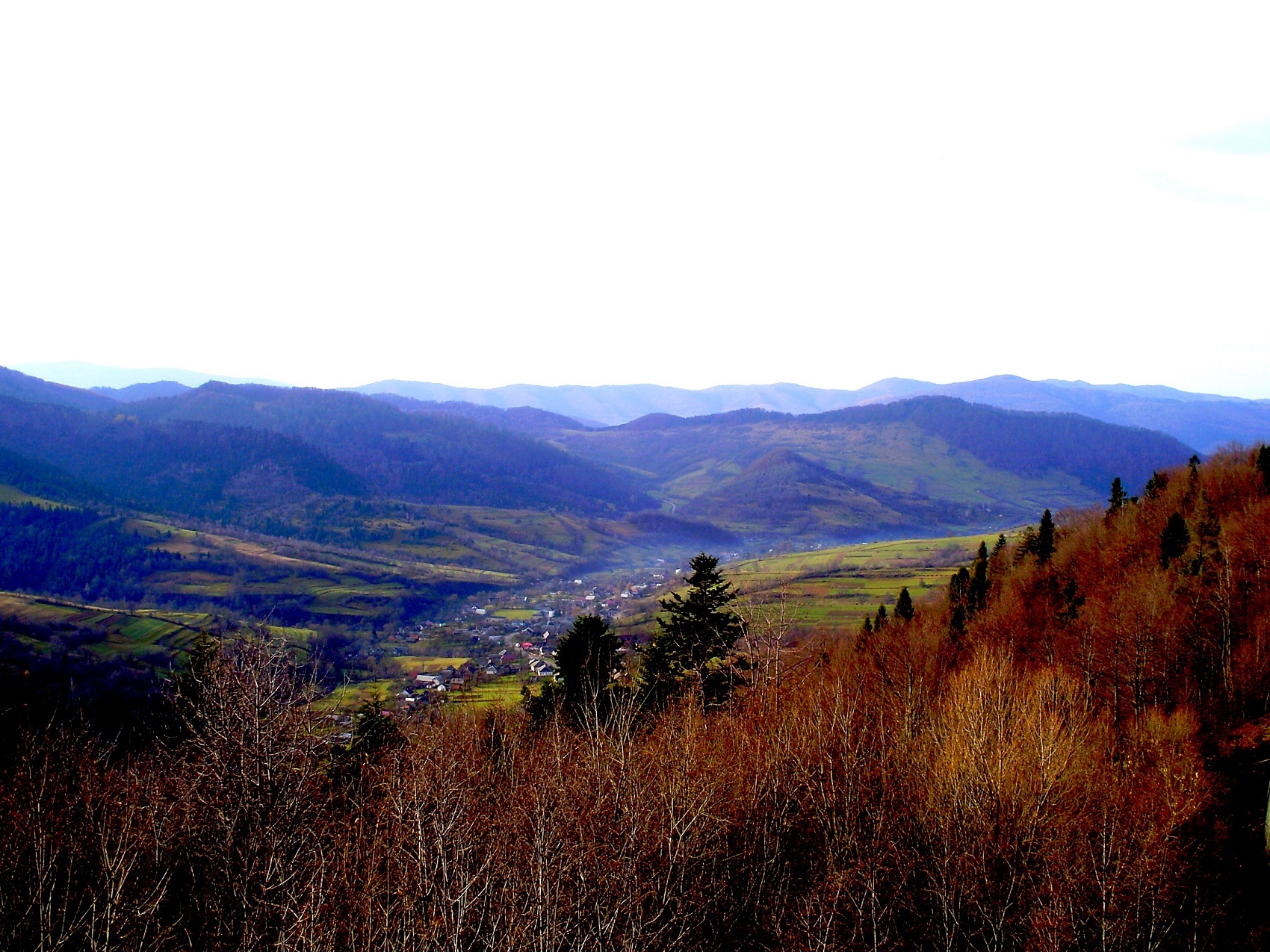
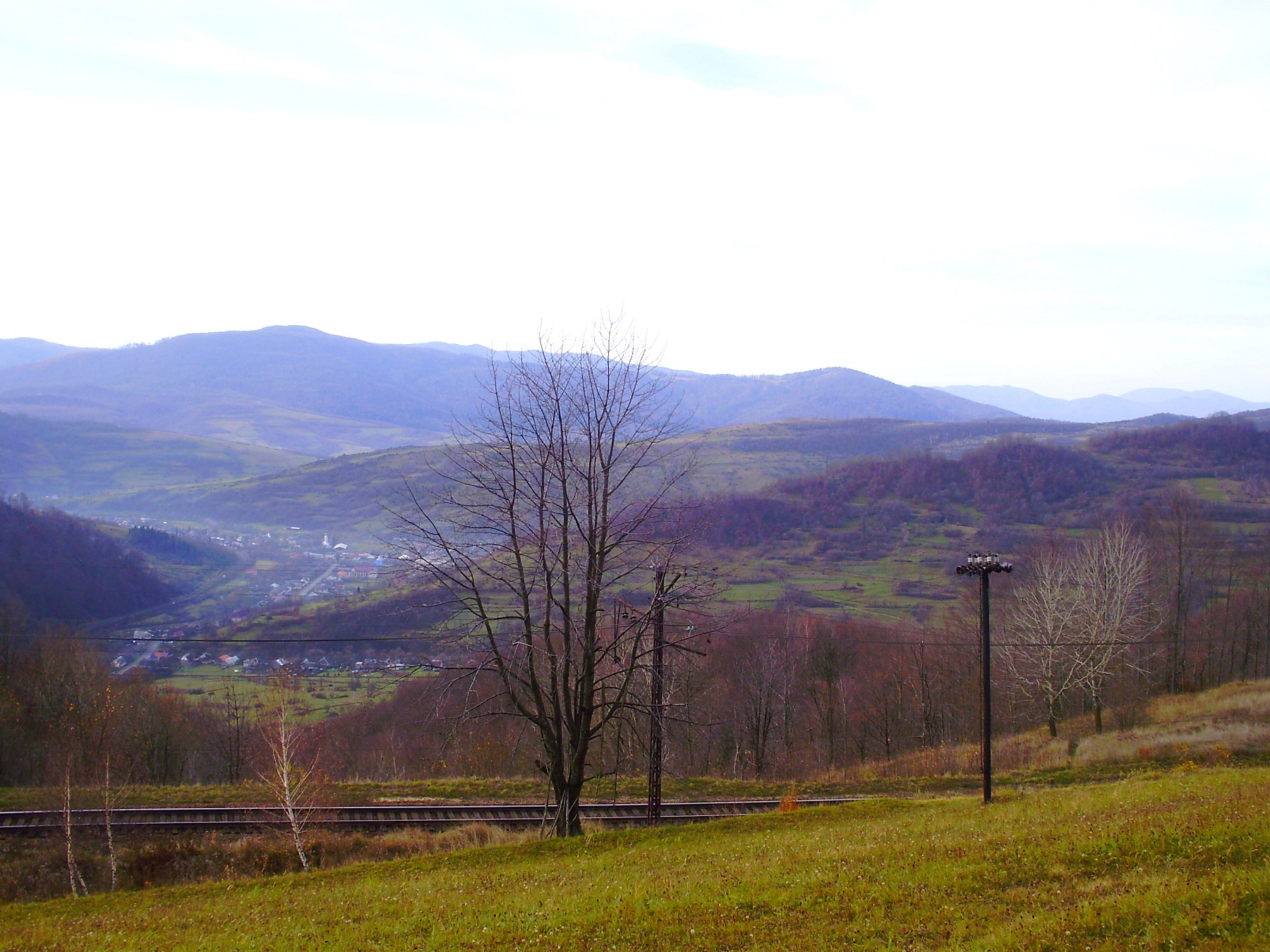
Eco-route “Leakage of the river Uzh” (The route length is 9 kilometers, average complexity).
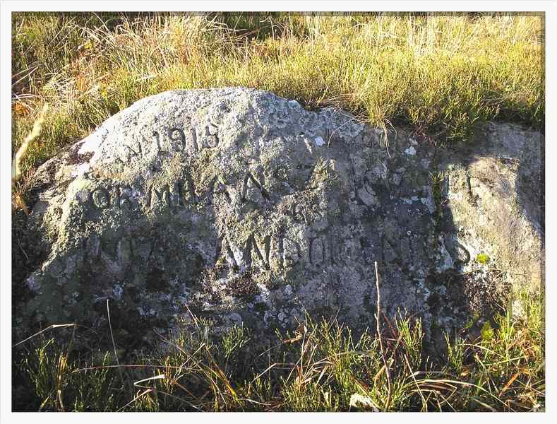
The route takes its beginning from the well-known Uzhok pass which in historical times was the place of intense hostilities of the First World War. Today in this place are located military cemeteries and memorial sign. Following the path, you will find picturesque sites of woods and haying meadows. And closer to the slope of Verhovynsky dividing range you can watch magnificent views of the mountain summits of Stozhok, Pikui, Kinchyk Bukovsky, and also a dizzy panorama of Poland Bieszczady mountains. At the end of the route, the path goes to the leakage of the river Uzh at a height 1000 meters and goes down to Uzhok village. The start of the route begins from Uzhok pass that is in 6 kilometers away from the hotel.
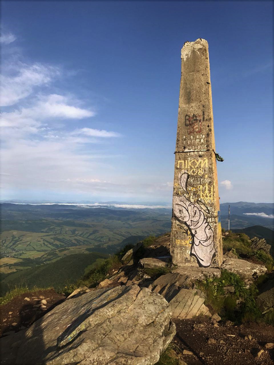
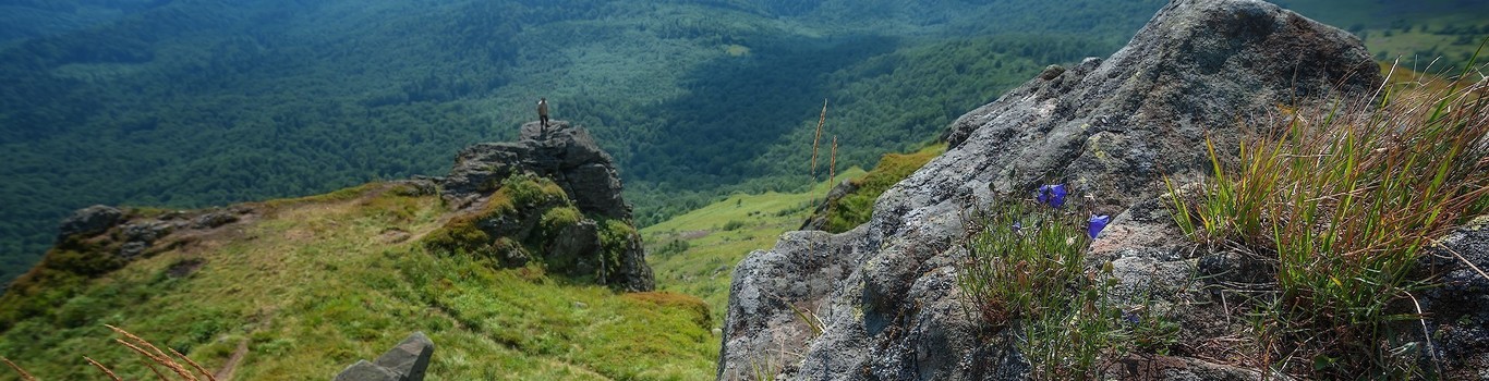
Eco-route “To Pikui Mountain”. The length of the route is 44 kilometers in two directions, for the bravest!
The route goes through the most beautiful Carpathian Range, “favorite” of the most freakish tourists – Verhovysky dividing range. It is located on the border of Transcarpathian and Lviv regions and reaches out from Uzhok to Torun’ pass. It is a place where a lot of rivers are started , for example Uzh, Latorica, Stryi and Rika. Historical trade route “Russian Way” passed through the ridge, which in the times of Kievan Rus’ was a place of transporting of different goods from the Balkans, and now it’s a place where the memorial sign is established.
The route takes its beginning from the hotel and it rises in Husnyi village through the wood to the top of Drohobych Stone, the height of which is 1186 meters. And the most interesting starts at this very place. Scenic panorama opens from the summit, in particular on Uzhanska valley and picturesque villages of Transcarpathian and Lviv regions. Having overcome this short distance, you can enjoy unforgettable panoramas of mountains Hostra, Mountain Valley Runa, and magnificent summit of Pikui, which will accompany you till the end of the route!

Eco-route “Cheremcha”, the route length is 8 kilometers (5 hours, average complexity).
The route starts near Stavne village from the recreation point and reaches out to mountain “Cheremha”. The larger part of the path goes through the mysterious wood with the unique atmosphere which catches the breath! Having passed the 2/3 of the route, you will come to the stunning meadow of “Bahno” tract. You will have a chance to take a rest on cozy benches, quench your thirst from a mountain spring and feel like a real explorer, seeing rare plants with your own eyes from The Red Data Book of Ukraine. Then the path extends to the summit of Cheremha Mountain, the height of which is 1130 meters. The closer to the summit, the more abundant the blueberry bushes are, which you can eat just during the route. There are fragrant subalpine meadows on the mountain, and memorial signs together with military cemetery remind dramatic events of the First World War. The start of the route takes place near Stavne village in 10 kilometers away from the hotel (we will organize shuttle service).
*Attention! You must take care of the permission for this route in advance because this route is located near the border lane. We will tell how and where you can get the permission!


Eco-route “Terminets route”.
The length of the route is 7 kilometers (hours), easy route.
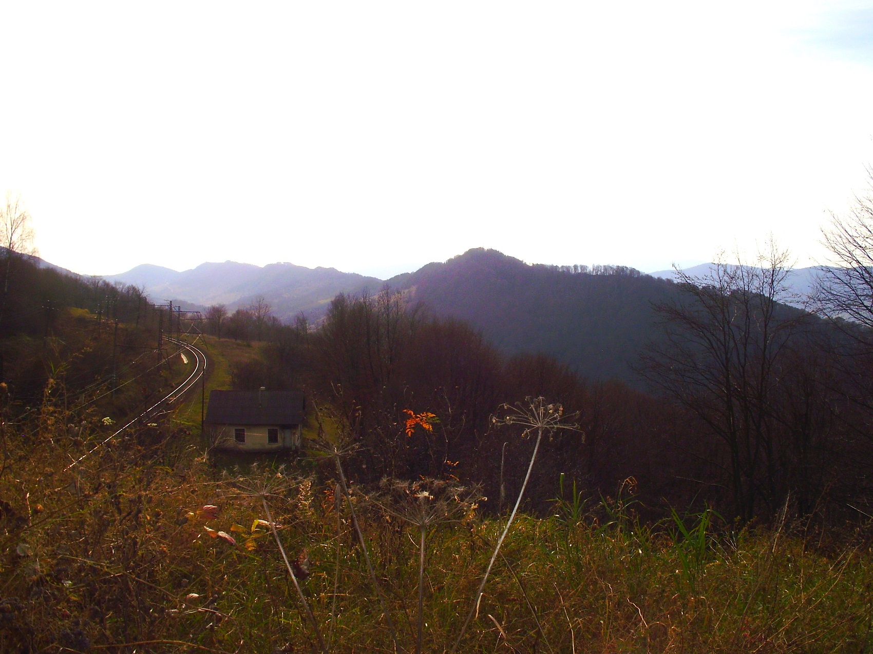
It is a simple and easy route that will be interesting for both the experienced travelers and beginners. The route passes under the Ukrainian-Polish border and stretches from the well-known Uzhok pass to Shcherbyn tract located in Volosyanka village. During this route a beautiful mountain panorama will open to you and cause a desire to admire it more and more! In some places, the path intersects with a unique railway built by Austrian-Hungarian engineers. Today this railway amazes all the tourists with its unique serpentines and panoramas.